

Survey drone
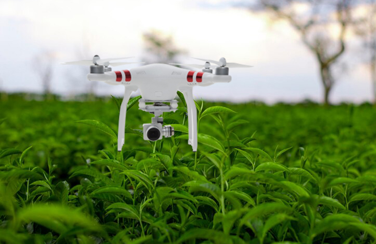
Farmers have a tonne of potential when using drones for surveys. GIS / GPS tagging, Planting, Livestock Management, Pesticide Spraying, Crop Stress Identification, Treatment Planning, Plant Growth Monitoring, and Precision Farming all can be monitored by a drone in a fraction of the time. Farmers' field expenses and workload are greatly reduced as a result.